Permits, Codes, HOA Regulations & Local Compliance
Georgia EPD Shoreline Buffer Rules: What Lake Owners Must Know
The 25-Foot and 50-Foot Protected Riparian Buffers
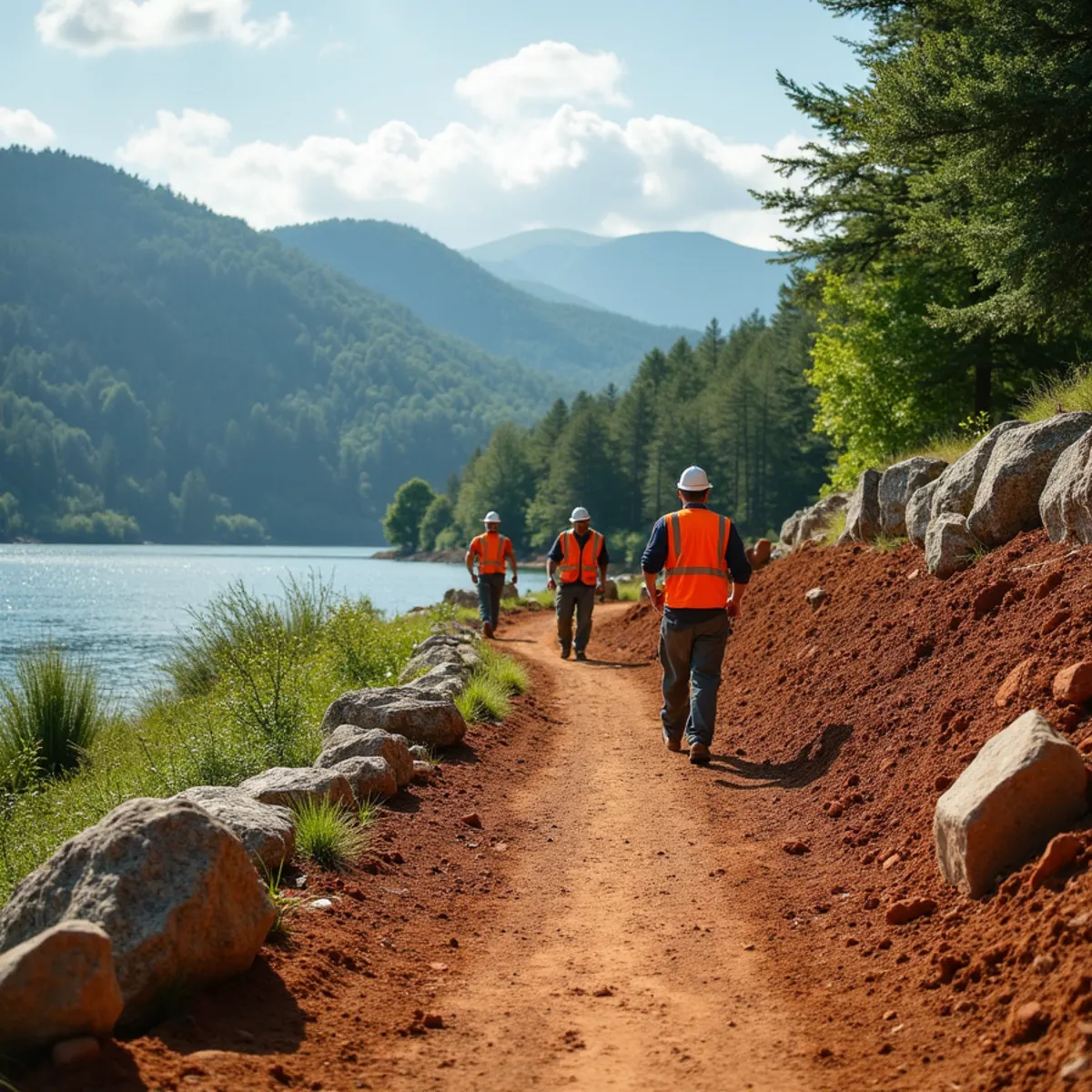
Georgia lake owners must maintain a minimum 25-foot vegetative buffer along the shoreline, widening to 50 feet on designated trout streams, measured from the full-pool water line, not the property line. Lake Burton and Lake Rabun owners also need a separate Georgia Power shoreline permit for most in-buffer work.
Georgia law sets a minimum 25-foot vegetative buffer along the banks of state waters, measured landward from the point where vegetation has been wrested by normal stream or lake flow, under the Erosion and Sedimentation Act of 1975 as amended.
That buffer widens to 50 feet along designated trout streams, which cover much of the headwater creeks feeding Lake Burton and Lake Rabun in Rabun County, so a property on one of those feeder streams may face the stricter standard even if the lake frontage itself only requires 25 feet.
The buffer is measured from the ordinary high-water mark or full-pool level, not from your property line or dock, which trips up owners around Lakemont who assume the buffer starts wherever their land happens to be dry that day.
These are state minimums enforced through the local issuing authority, the county or municipal government, not suggestions, and they apply whether the work is done by a homeowner or a contractor.
Determining exactly where the ordinary high-water mark sits on a Georgia Power reservoir is not always obvious to the eye, since reservoir levels fluctuate seasonally for hydroelectric generation. We rely on the documented full-pool elevation for each lake rather than the water line on the day we happen to be surveying the property.
Buffer width is also measured horizontally along the ground, not on a straight line, which matters on a steeply sloped lake lot where the actual buffer footprint can extend further into usable yard space than a flat-lot owner would expect for the same 25 or 50 foot distance.
Because the buffer restricts new impervious surface and significant grading within its width, it directly shapes where a dock walkway, a set of lake-access steps, or a small sitting area can be located, and we design around that constraint from the first site visit rather than discovering it after a layout is already drawn.
Allowed Activities in the Buffer (Riprap vs Clearing)
Not everything in the buffer is prohibited. Selective removal of dead, diseased, or hazard trees is generally allowed, as is limited path clearing for lake access, but wholesale clear-cutting of buffer vegetation to open a view is exactly the kind of activity that draws enforcement attention.
Riprap and shoreline stabilization work, placing stone to armor an eroding bank, is typically viewed favorably by regulators because it reduces sediment entering the lake, but it still has to be installed under the applicable buffer variance or exemption, not just started because the intent is good.
The safest approach on any Lake Burton or Lake Rabun frontage is to assume permission is required before disturbing buffer vegetation or grade, and to get that confirmed in writing before equipment shows up on site.
A common gray area involves invasive species removal, like privet or kudzu choking out native buffer vegetation. Removing invasives is usually viewed favorably, but the replanting plan matters just as much as the removal, since a bare buffer left exposed after clearing invasives creates its own erosion problem and can itself draw a compliance issue if native cover is not reestablished promptly.
A dock walkway or a single narrow access path through the buffer is generally allowed under most local ordinances, provided it is sized to genuine foot-traffic width rather than expanded into a wider cleared corridor, and provided the surrounding vegetation stays otherwise intact along both sides of the path.
We document proposed buffer work with marked stakes and photos before submitting for approval, which gives the reviewing authority a clear picture of scope and helps avoid the kind of vague description that tends to draw follow-up questions, extra review cycles, and delay.
- Selective removal of dead, diseased, or hazard trees - generally allowed
- Limited path clearing for lake access - generally allowed if sized to genuine foot-traffic width
- Riprap and shoreline stabilization - typically viewed favorably but still requires a permit or variance
- Invasive species removal like privet or kudzu - allowed, but needs a replanting plan afterward
- Wholesale clear-cutting of buffer vegetation for a view - the activity most likely to draw enforcement
Georgia Power Shoreline Management Permits on Burton & Rabun
Lake Burton, Lake Rabun, and Tallulah Falls Lake are Georgia Power reservoirs operated under a federal hydroelectric license, which means the shoreline itself, not just the state buffer, falls under Georgia Power's Shoreline Management Plan and its own permitting process, separate from county rules.
Any dock, retaining wall, riprap placement, or significant vegetation management within the shoreline management zone on these lakes requires a Georgia Power land use permit in addition to any county erosion permit, and Georgia Power inspectors do walk the shoreline.
We coordinate both approvals, the county erosion and sedimentation sign-off and the Georgia Power shoreline permit, before starting shoreline collapse shoring or stabilization work on Burton or Rabun frontage, because starting work with only one of the two in hand is a common and costly mistake.
The Georgia Power application typically requires a site plan showing the proposed work relative to the property corners and the shoreline, along with photos of existing conditions, and processing time can run several weeks, which is worth building into any project timeline planned for a specific season.
Because Georgia Power manages Burton, Rabun, and Tallulah Falls as a connected hydro system, its shoreline standards apply uniformly across all three reservoirs even though water levels, bank composition, and typical erosion patterns differ meaningfully from lake to lake, which is why we treat each shoreline evaluation as site-specific rather than assuming what worked on one lake automatically applies to the next property.
Silt Fencing, Turbidity Curtains & Sediment Control
Any land disturbance near the water requires sediment control measures sized to the job, silt fence staked along the downhill edge of the disturbed area at minimum, and a floating turbidity curtain in the water itself when work happens at or below the waterline.
Turbidity curtains contain suspended sediment in the water column during in-lake work like riprap placement or bank regrading, keeping fines from drifting into open water where they smother fish habitat and violate water quality standards.
We install and maintain these controls for the duration of the project, not just on day one, because a silt fence that has fallen over three weeks into a job protects nothing.
On steeper lakefront lots we also stage work to limit how much bank is disturbed at once, backfilling and stabilizing one section before opening the next, rather than exposing the full length of a shoreline repair to a single storm event mid-project.
We inspect and adjust these controls after every significant rain event during construction rather than on a fixed schedule, since a single heavy storm can undo days of otherwise careful staging if a silt fence line was not built to handle the actual volume of water moving across it.
Fines and Stop-Work Orders for Unpermitted Work
Unpermitted land disturbance in a protected buffer or Georgia Power shoreline zone can draw a stop-work order on the spot, along with fines from the local issuing authority that scale with the severity and duration of the violation.
Georgia Power can separately require restoration of unauthorized shoreline alterations at the property owner's expense, which has meant, in cases we have seen around Batesville and the Rabun lakes, replanting buffer vegetation or removing unpermitted riprap years after the fact.
Because enforcement can come from two different authorities on these reservoirs, an unpermitted project carries double the exposure of a typical inland job.
There is also a practical resale consideration. A title search or a buyer's due diligence walk can surface unpermitted shoreline work years later, and unwinding that history to close a sale is far more disruptive than getting the permits right before the first stone was ever placed.
Enforcement is also cumulative for repeat issues on the same parcel. A property with a documented prior violation tends to draw closer scrutiny on any future permit application, which is one more reason to handle the first project correctly rather than treat compliance as optional on a one-time basis for a single season.
Insurance carriers covering lakefront property have also begun asking directly about permitted shoreline work during underwriting on Burton and Rabun, another reason the paperwork trail we build for every project has value well beyond the immediate construction phase.
How We Handle Permits & Compliance
We pull county erosion permits and coordinate Georgia Power shoreline approvals as a standard part of every lakefront project from Clarkesville out to the Lakemont and Batesville shorelines, so the paperwork is settled before equipment ever touches the bank.
Call (323) 606-0255 before you clear a single tree or place a single stone on lake frontage. We will tell you exactly what permits your project needs.
Frequently Asked Questions
- Often yes. County erosion and sedimentation approval covers the land-disturbance side, while Georgia Power's Shoreline Management Plan separately governs any dock, riprap, or vegetation work within its shoreline zone on Burton and Rabun.
Get Expert Help on Your North Georgia Property
Kipps Kustom Landscapes has spent 15+ years solving exactly these challenges across the Blue Ridge foothills. Call for a free on-site estimate.
Call (323) 606-0255
Written by
Hunter Kipps — Owner & Lead Craftsman
Hunter Kipps has spent 15+ years building and repairing mountain and lakefront landscapes across Northeast Georgia — boulder retaining walls, shoreline riprap, red-clay drainage, and estate stonework. He personally runs the heavy equipment and walks every site before quoting it.