
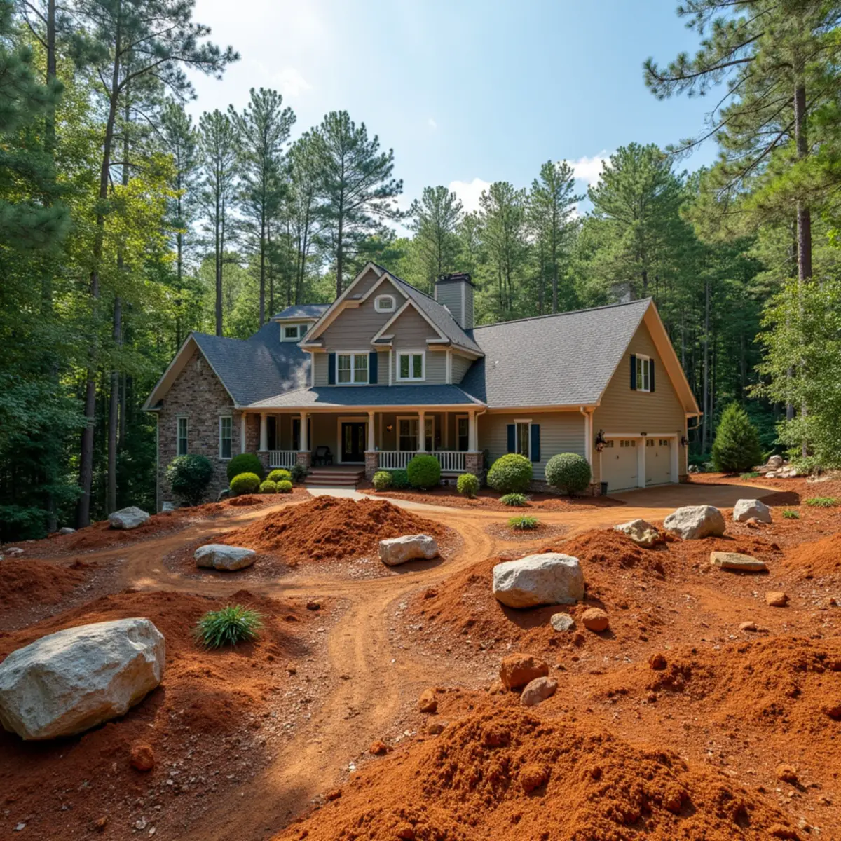
Transitional Hill Country Between Two Counties
Murrayville sits in that in-between zone where Hall County's suburbanizing edges meet Lumpkin County's more rural, wooded hill country, and a lot of property out here has sat unmanaged for years, sometimes decades, as small farms and pasture land got absorbed into larger holdings or simply stopped being actively grazed. What comes back on that kind of ground in North Georgia is not pasture grass, it is privet, kudzu, blackberry bramble, volunteer pine, and sweetgum saplings thick enough to make a fence line disappear within a few growing seasons. Clearing that by hand or with conventional bush-hog equipment on Murrayville's rolling, sometimes rocky hill ground is slow and often just knocks vegetation down without addressing the root systems that will send it right back up.
Forestry Mulching for Land Clearing
Forestry mulching is the right tool for this kind of reclaim work. A tracked mulching head grinds standing brush, saplings, and small-diameter trees directly into a mulch layer left on the ground, rather than cutting and hauling debris off site the way traditional clearing does. That approach works especially well on Murrayville's uneven hill terrain since tracked equipment handles slope and soft ground better than wheeled machinery, and the mulch layer left behind actually helps control erosion on the newly exposed ground while organic matter breaks down and feeds the soil, which matters if the end goal is pasture rather than bare dirt. We size the mulching head and pass depth to the job, taking established hardwoods down to grade in one pass for full pasture reclaim, or leaving a lighter touch where a property owner wants to preserve mature trees and just clear the understory brush.
For land being reclaimed as pasture, we follow mulching with soil testing and lime application where needed, since abandoned hill country ground in this area typically runs acidic after years without agricultural management, and pasture grass will not establish well until pH is corrected.
Grading and Drainage After Clearing
Once ground is cleared, the hill country drainage patterns that were hidden under brush usually reveal themselves fast, often as eroded gullies that were quietly cutting deeper every year under all that vegetation. We regrade those channels and, where the volume justifies it, tie in red-clay-drainage-french-drains or rock-lined swales so newly cleared and reseeded ground does not just erode right back into the same gullies during the next hard rain.
Serving Murrayville and the Hall-Lumpkin Line
We also handle boulder-retaining-walls for property owners who want to terrace a section of cleared hillside for a garden, orchard, or building site, and we regularly work between here and Dahlonega and Cleveland, both close by across the county line.
Chestatee River Corridor Bank Considerations
A share of the acreage we clear and regrade around Murrayville borders the Chestatee River corridor itself, and property owners with river frontage face a different erosion problem than the hillside runoff we handle on the rest of a typical Hall-Lumpkin line property. The Chestatee runs high and fast after heavy rain in the surrounding hill country, and a riverbank that has been cleared of its natural vegetation for pasture or a mowed lawn loses the root structure that would otherwise hold the bank together during those high-water events, leading to the same kind of undercut, slumping bank we see on lake shoreline elsewhere in our service area.
For river frontage properties, we apply the same lakefront-shoreline-stabilization principles we use on lake lots, adapted for a current rather than a static pool: rock armor keyed into a toe footing below the scour line, paired with a replanted riparian buffer of river birch, alder, and switchgrass immediately above it. Property owners who are clearing land for pasture near the river should plan to leave that buffer strip intact rather than mowing to the water's edge, since a mowed bank along the Chestatee erodes measurably faster than one with even a modest strip of native root structure left standing.
Where a Murrayville property owner also uses the Chestatee for fishing or recreational access, we build a stabilized access path down to the water separate from the main riverbank buffer, so foot traffic concentrates on one durable, rock-lined route instead of wearing multiple bare trails through the replanted buffer, which defeats the purpose of the restoration. We also time any bank planting work around the river's lower late-summer flow whenever possible, since working in exposed, drier bank conditions gives new plantings a better chance to root before the next high-water event.
Permits, Codes & Compliance in Hall County
Large-scale storm-debris-clearing-forestry-mulching and land-clearing jobs around Murrayville can trigger Georgia's erosion and sediment control permitting once the disturbed area crosses the state's acreage threshold, and we confirm that trigger with Hall County before mobilizing equipment on any multi-acre pasture reclaim. Open burning of cleared brush also generally requires a burn permit issued through the Georgia Forestry Commission, and rules vary by season and current fire danger, so we check current burn permit status with the property owner rather than assuming clearing debris can simply be burned on site.
Because Murrayville straddles the Hall and Lumpkin County line, the exact permitting authority for a given parcel depends on which side of that line the property sits, and we verify jurisdiction before submitting any paperwork for a larger hillside-excavation-slope-terracing or grading job.
Seasonal Landscaping & the Murrayville Microclimate
At only 26 miles from Clarkesville and sitting where Hall County's rolling Piedmont starts folding into Lumpkin County's foothills, Murrayville runs a growing season close to our own home territory, warmer than the high country around Suches or Blairsville but cooler than flatter Hall County ground closer to Gainesville. That makes the planting calendar for pasture reclaim and lakefront-shoreline-stabilization riparian buffer work along the Chestatee River corridor fairly forgiving compared to some of our higher-elevation Tier 4 towns.
Heavy summer thunderstorms common to this transitional hill country also mean newly cleared or reseeded ground needs red-clay-drainage-french-drains or swale correction in place fast, before the first hard rain undoes a forestry mulching job's benefit, which is why we sequence lime application and reseeding to follow clearing as quickly as the calendar allows rather than leaving bare ground exposed through a full storm season.
Our Services in Murrayville
Every core Kipps Kustom Landscapes service is available to Murrayville property owners:
Why Murrayville Residents Choose Kipps Kustom
Only 26 Miles, One of Our Closest Tier 4 Stops
Murrayville sits just 26 miles from our Clarkesville shop along the Chestatee River corridor, close enough that forestry mulching and land-clearing jobs here fit easily alongside our core Habersham County schedule.
Tracked Mulching Equipment We Own Outright
Hall and Lumpkin County's rolling, sometimes rocky hill ground needs tracked equipment, not wheeled bush-hog machinery. We run our own forestry mulching heads rather than subcontracting clearing work to a third party.
River Frontage Gets Lake-Grade Shoreline Engineering
We apply the same lakefront-stabilization principles, rock armor keyed below the scour line plus a native riparian buffer, to Chestatee riverbank work, adapted for a current rather than a static pool.
Free Estimates, Even for Acreage-Scale Clearing
A forestry mulching job can cover several acres of overgrown pasture. We walk the whole parcel and provide a free on-site estimate before any equipment shows up.
Murrayville Landscaping FAQs
- Forestry mulching uses a tracked machine with a grinding head to reduce brush, saplings, and small trees to mulch in place, rather than knocking vegetation over without addressing root systems. It handles Murrayville's uneven hill terrain better than wheeled bush-hog equipment and leaves erosion-controlling mulch behind.